Файл:Europe-Great Britain.svg

Оріґіналный файл (SVG-файл, номінално 450 × 456 пікселів, розмір файлу: 735 КБ)

Попис
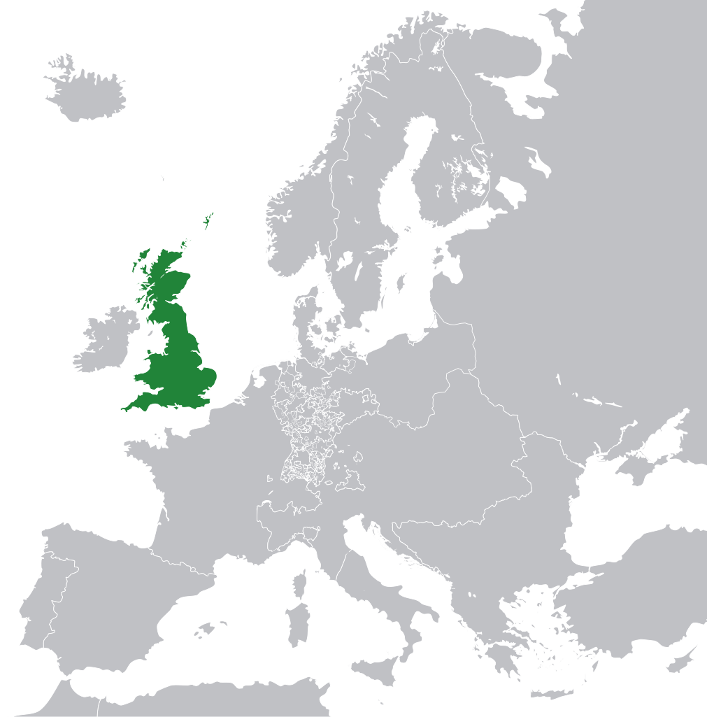
| Опис |
English: Great Britain in 1800 Europe. |
||
| Датум | |||
| Жрідло | File:Europe 1789.svg | ||
| Автор | Rob984 | ||
| Іншы верзії |
|
.svg)
Ліценцованя
- Можете слободно:
- здїляти – копіровати, росшырёвати ці передавати дїло
- модіфіковати – адаптовати дїло
- За наступных подмінок:
- узнаня авторства – Мусите увести авторство такым способом, якым то пожадує автор або ліценсор (але не такым способом, котрый бы назначовав, же підпорують вас або ваше схоснованя дїла)
- захованя ліценції – Кідь тото дїло зміните, переведете до іншой подобы або схоснуєте як основу далшого дїла, можете дїло в резултатї шырити лем під тов самов подобов або подобнов ліценціов як є тота.
Данный файл может содержать неверную информацию о лицензии.
Причиной, почему пользователь, поставивший этот флаг, сделал это, послужило: appears to be an uncredited (unattributed) derivative work of both Europe 1789.svg which is licensed under the Creative Commons Attribution-Share Alike 3.0 Unported licence. I believe the currently supplied license (Creative Commons Attribution-Share Alike 4.0 International) is compatible with this but the required attribution has not been supplied.
Уведомить загрузившего с помощью:
Элементы, помеченные данным шаблоном, попадают в категорию Category:Items with disputed copyright information.
|
Історія файлу
Кликнути на датум/час, жебы видїти, як тогды вызерав файл.
| Датум/час | Мініатура | Розмір обєкта | Хоснователь | Коментарь | |
|---|---|---|---|---|---|
| актуална | 13:53, 8 новембра 2014 | | 450 × 456 (735 КБ) | Rob984 | User created page with UploadWizard |
Хоснованя файлу
Далшы сторінкы ся одказують на тот файл:
Ґлобалне хоснованя файлу
Тот файл хоснують такы іншы вікі:
- Хоснованя на bg.wikipedia.org
- Хоснованя на en.wikipedia.org
- Хоснованя на fr.wikipedia.org
- Хоснованя на hi.wikipedia.org
- Хоснованя на hr.wikipedia.org
- Хоснованя на ja.wikipedia.org
- Хоснованя на ka.wikipedia.org
- Хоснованя на nl.wikipedia.org
- Хоснованя на pl.wikipedia.org
- Хоснованя на ru.wikipedia.org
- Хоснованя на zh-min-nan.wikipedia.org